GeoGIS Consultants
GeoGIS employs experts whose references include domestic and international projects. GeoGIS basic activities comprise multi-sensors data collection and 3D modeling terrain as a base of design in many technical fields, BIM projects, satellite image processing; GIS design and implementation in urban areas, over and under ground infrastructure, Environmental projects; as well as all types of surveying works and data collection using conventional, Lidar, Photogrammetry from airplane and UAV/Drone.
Products/Services:
- 3D topographic maps in different scale and purposes;
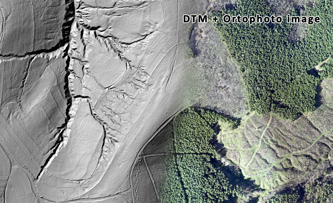
- DTM (Digital Terrain Model) of terrain and artificial structures and existing infrastructures;
- DSM (Digital Surface Model) with production Land Use Maps from Photogrammetry, Lidar and Satellite Images processing;
- Impute data for CAD, GIS and BIM projects;
- Education and transfer modern/innovative technology for data collection, processing and using 3D georeferenced data in many fields: Regional and urban planning, Civil Engineering, Infrastructure projects, GIS and BIM projects.
Production capacities: 28 permanent employees; 20 freelancers’ employees; 50 – 70 continuously outsource.
Export markets: Europe; Middle East; Africa
Standards and certifications: ISO 9001:2015; ISO 14001:2015; ISO 27001:2013; ISO 45001:2018.
GeoGIS Consultants
A: Palmira Toljatija 5/IV, 11000 Belgrade, Serbia
P: +381 11 26 24 923
M: +381 65 33 36 448
E: office@geogis.rs
www.geogis.rs